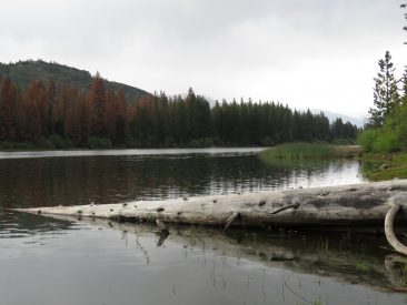
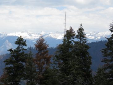
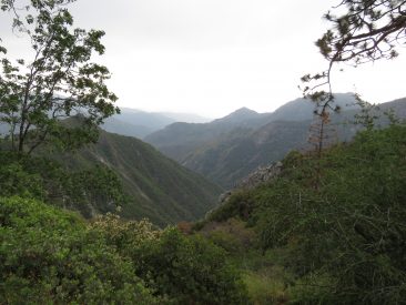
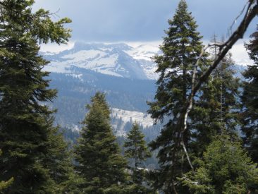
The Sequoia and Kings Canyon National Parks is the consolidated management structure for Sequoia National Park and Kings Canyon National Park in California. The two parks have been jointly administered since 1943. They have a combined size of 1,353 square miles (3,500 km2). It was designated the UNESCO Sequoia-Kings Canyon Biosphere Reserve in 1976.
If you like giant redwoods and spectacular views then these parks should definitely be on your list of places to go. Located almost half way between San Francisco and Los Angeles, this is anywhere from a 3-5 hour drive depending upon traffic. There are a number of places to stay on the western edge of the park but if it’s a holiday weekend you may find that they fill up quickly or the prices skyrocket. Fresno is probably the closest mid-sized city and about an hour from the closest park entrance.
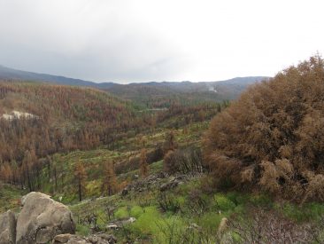
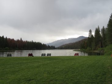
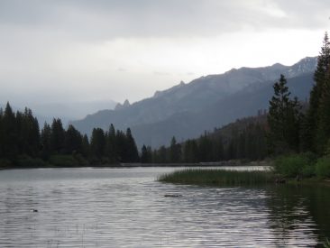
The park has many things to offer and see, regardless of your fitness level. You can do as little or as much walking as you want without feeling that you have missed out on seeing this special place.
The U.S.A. National Park service has a very good website with plenty of information to help plan your trip, along with a number of maps that will suffice for most visitors.
- U.S.A. National Parks page for Sequoia and Kings Canyon: https://www.nps.gov/seki/index.htm
- U.S.A. National Parks maps for Sequoia and Kings Canyon: https://www.nps.gov/seki/planyourvisit/maps.htm
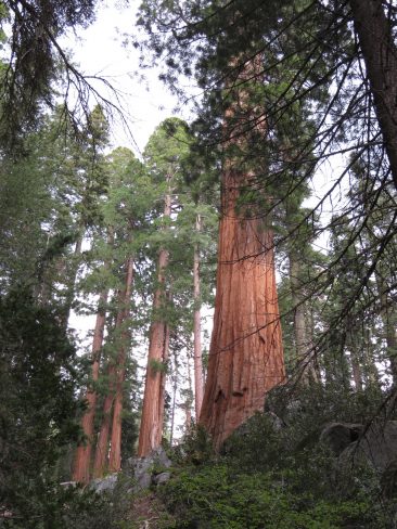
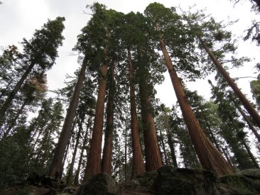
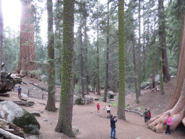
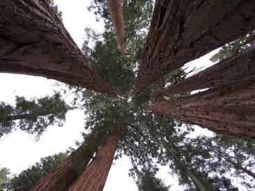
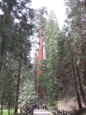
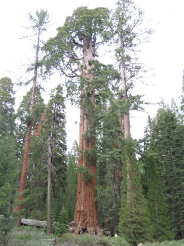
General Grant Tree
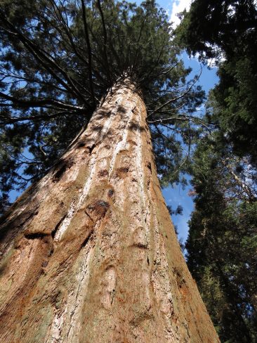
For most of the people who enter the park from the north-west entrance (highway 180), their first stop is going to be the General Grant Tree. This easily accessible are of the park has enough parking for most days and plenty of paved paths to wander among these giant redwoods. These trees are truly humbling and you realize just how small and perhaps insignificant us humans really are.
Big Stump Trail
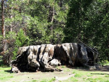
This is a pretty flat trail, although the signage is not that great and you may find yourself at a number of trail junctions not knowing which way to go. The Ranger Station and entrance gates have a very basic one page trail map that can help out, just don’t wander off the trail unless you have a good sense of direction.
Distance 4.47km (2.78 miles)
Elevation Change 128m (420 feet)
Big Baldy Trail
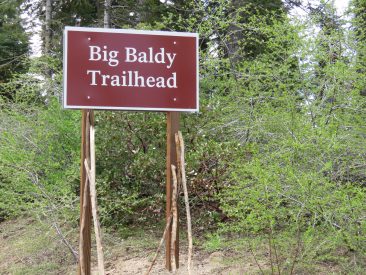
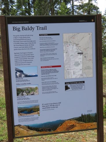
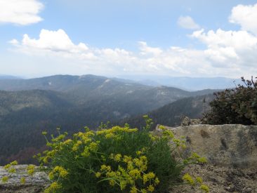
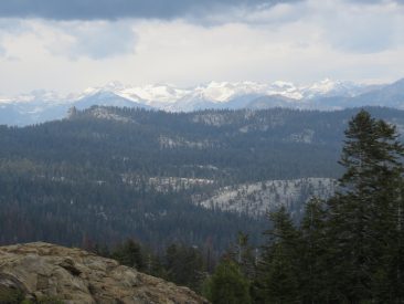
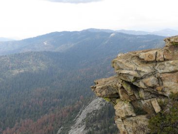
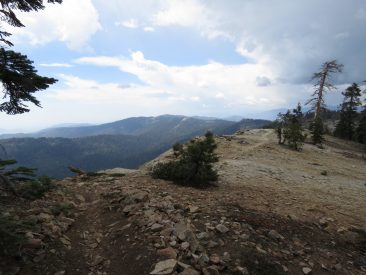
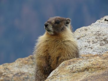
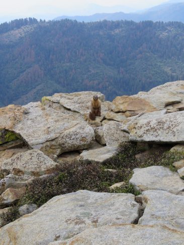
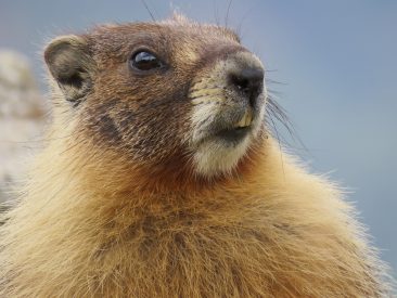
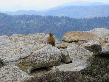
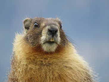
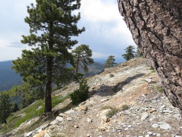
No this trail was not named after me, but rather the peak that is, well, a treeless area that provides wonderful 360 degree view. This is a wonderful hike that, on paper, doesn’t look that difficult, but you are at elevation and if you haven’t adjusted to it yet you might find yourself breathing a little heavier than normal. We came across a few other hikers on this day but our best encounter was with a very photogenic marmot that visited until we had taken all the pictures we could.
Distance 7.39km (4.59 miles)
Elevation Change 448m (1,469 feet)
These are wonderful parks and definitely worth the visit if you are in the area. Get out there and enjoy some time with mother nature.
Cheers, Nigel



Debbie Lindsey
Gorgeous! Thanks for sharing and the information:)
Debbie Lindsey
I already wrote this but not sure it posted. Thanks for sharing!
Charles Hale
Looks like it was a great trip. I definitely need to make my way there and do some hiking. Thanks for posting this Nigel!!!
Rob Riley
Awesome pictures and behind the scenes detail. You need to host a travel show!
Michele Cochran
Great pictures Nigel! You can be the next Ansel Adams (except with color) haha
Mary Benben
Beautiful!!!