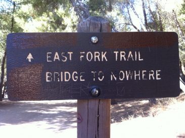
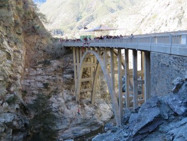
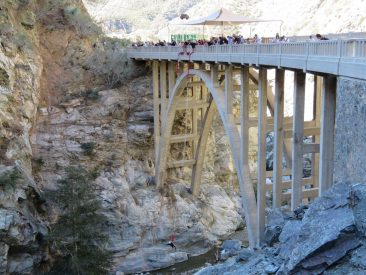
The Bridge to Nowhere is an arch bridge that was built in 1936 north of Azusa, California in the San Gabriel Mountains. It spans the East Fork of the San Gabriel River and was meant to be part of a road connecting the San Gabriel Valley with Wrightwood.
The East Fork Road was still under construction when it was washed out during the great flood of March 1–2, 1938.1 The East Fork Road project was abandoned as a result of the flood, leaving the bridge forever stranded in the middle of what is now the Sheep Mountain Wilderness.
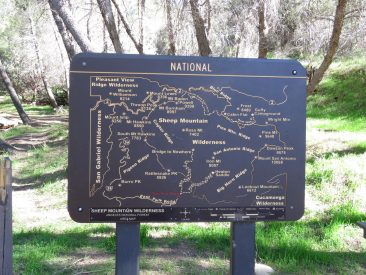
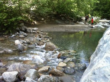
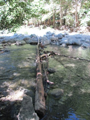
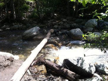
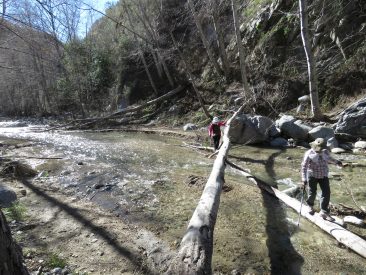
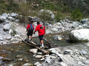
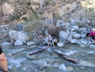
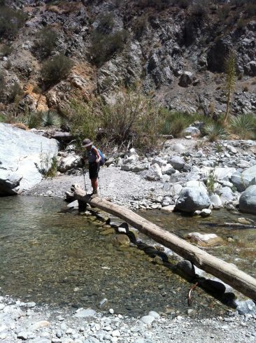
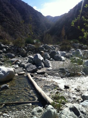
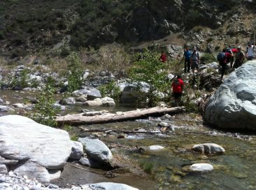
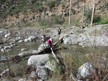
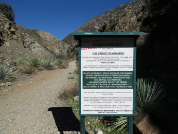
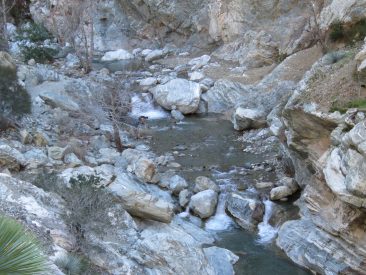
This is one of the best hikes I know of in the greater Los Angeles area and is located in the Angeles National Forest which is part of the U.S.A. Forest Services. It is a good mix of terrain and a good workout being 4.9 from the trail head to the bridge. With the same route going up as it is coming back, assuming you don’t take a wrong trail. This is not a well-marked trail in many places so it is easy to get a little lost, but if you stay close river you should be fine. There are four times that you have to cross the river and depending upon the season, maybe a few more. The water level changes with season and, in my humble opinion, by how much damning the guys panning for gold have done. Yes, you will come across a number of people panning for gold and you will see how they have altered the river path with dams and detours. Most of these people are very nice and will eagerly show you their finds or point out where the trail is, but I am not a fan of the destruction they are doing to nature, let alone the fact that it is illegal in the park. 🙁
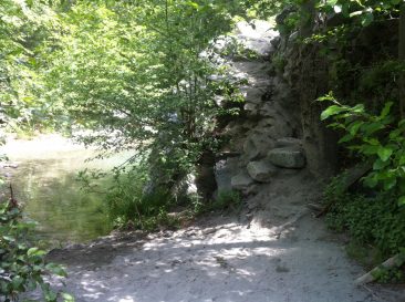
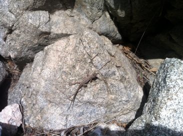
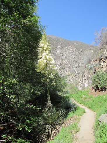
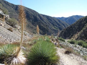
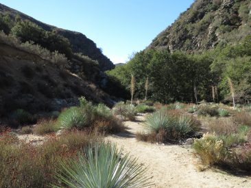
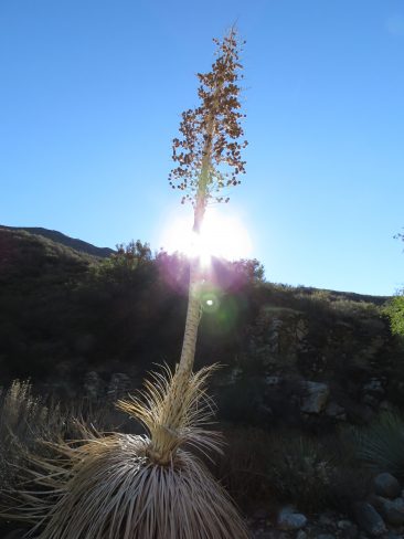
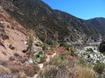
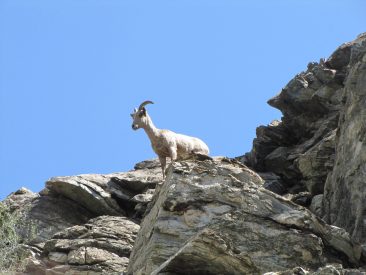
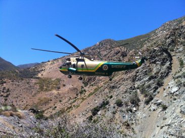
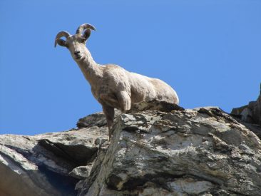
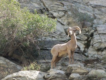
This hike is a little difficult and I would not recommend it for the novice. The ground is not flat, you often have to step over obstacles and walk on thin paths on the side of steep cliff. If you get hurt, there is no help easily available. There is no mobile phone coverage in the area but the folks that run the bungee jumping at the bridge do have a satellite phone and I have seen the U.S. Forestry service send in a helicopter to extract someone. However, for that 5 miles between the trail head and the bridge, well, you are pretty much on your own and you would need to rely on other hikers. There is an outhouse at the trail head and another one at the camp ground about 0.5 miles in, but after that nothing, and there isn’t much coverage if you cannot wait. This is a nice hike to do in the winter when it is a little cooler as it can get very hot in the summer. Make sure you bring lots of water with you and get your park pass before you enter the park as they are not available at the trail head. The pictures below are over a three-year period so you will be able to see how the river levels change and the location and difficulty of the crossings change. I hope you enjoy the pictures and get to do this hike. Let me know you thoughts in the comments below. Cheers, now get out and explore!

Gerald
Looks good but they still take a long time to load when I click on one picture. We’ll talk next week.
Nigel
Thanks Gerald,
Pictures are always going to be slower to load and my ISP doesn’t offer me a great upload speed. 🙁
Narendra
Nice hike,thanks for sharing