Hiking three parks in four days
What better way to spend a long weekend in the U.S.A. than to go visit some parks and get some good hiking in? For this trip it would be three parks all in northern California. We would stay in the small town of Burney, CA which would allow easy access to all the areas.
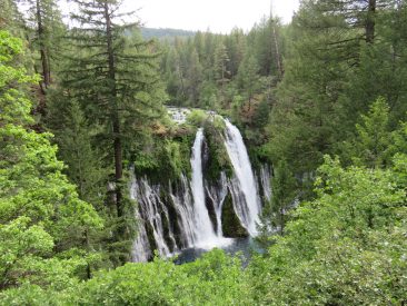
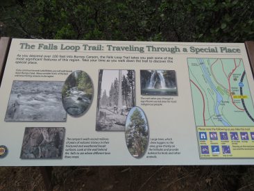
Arriving in the area mid afternoon we visited the smallest first and did a small hike around Burney Falls.
McArthur-Burney Falls Memorial State Park
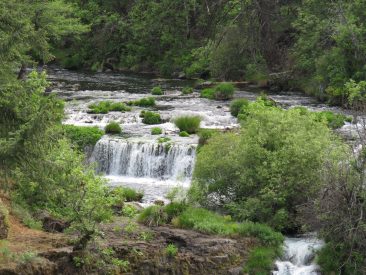
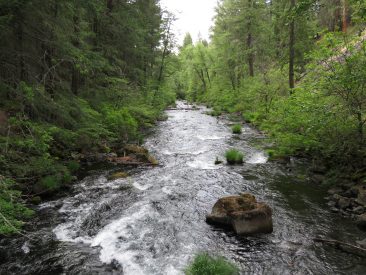
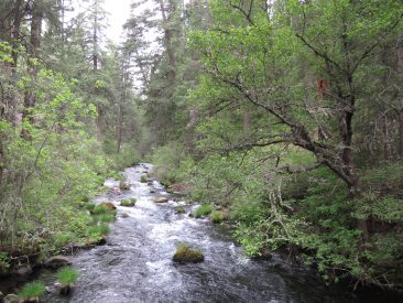
The park is within the Cascade Range and Modoc Plateau natural region, with forest and five miles of streamside and lake shoreline, including a portion of Lake Britton.
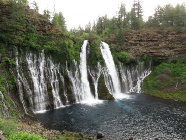
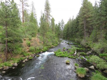
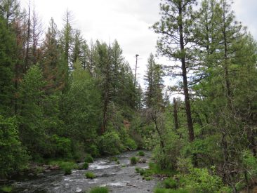
The park’s centerpiece is the 129-foot Burney Falls, which is not the highest or largest waterfall in the state, but possibly the most beautiful. Additional water comes from springs, joining to create a mist-filled basin. Burney Creek originates from the park’s underground springs and flows to Lake Britton, getting larger along the way to the majestic falls.
It was a very pleasant surprise that it was not too crowded so I had plenty of time to play with my new camera and take the small loop trail around the falls.
Lassen National Forest
The Lassen National Forest lies at the heart of one of the most fascinating areas of California, called the Crossroads. Here the granite of the Sierra Nevada, the lava of the Cascades and the Modoc Plateau, and the sagebrush of the Great Basin meet and blend.
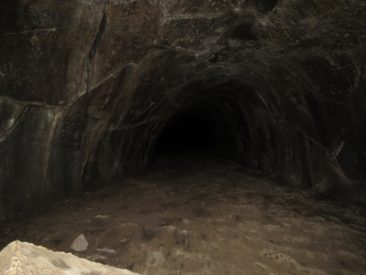
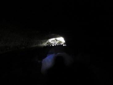
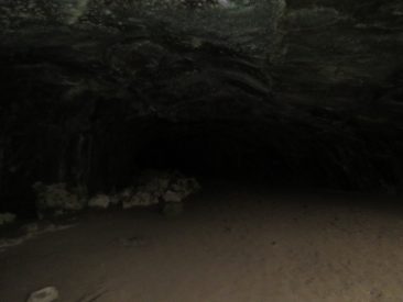
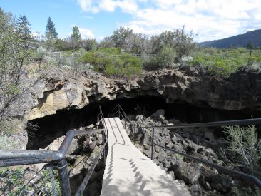
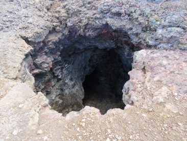
We had a plan for today; start at the Subway Cave, then get on the Pacific Crest Trail for the rest of the day. Well, mother nature sometimes decides what you should do, so after exploring the Subway Cave we could not find the path to the Pacific Crest Trail. 🙁
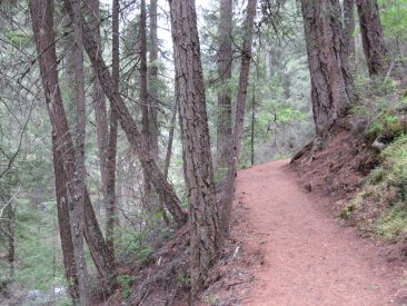
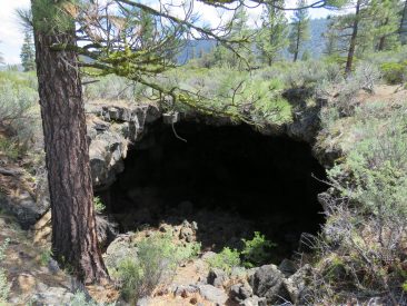
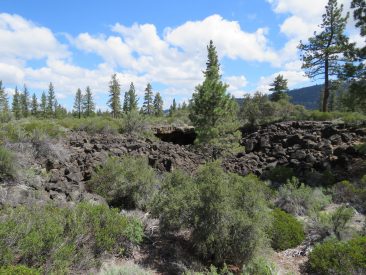
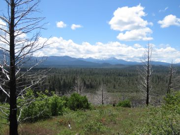
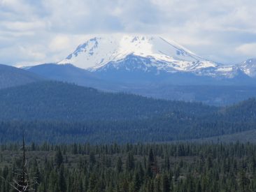
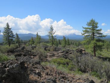
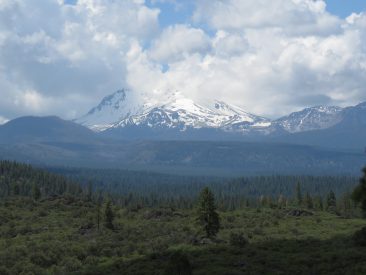
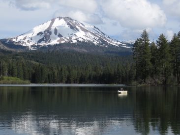
Someone in the parking lot mentioned the local fire station gives directions, but en route we found a Forestry information building so they suggested that we do the Spatter Cone Trail, it’s only a couple of miles but nice. We headed over to do that trail and uhmm, found the Pacific Crest Trail instead, so we did that for a few hours. Surprisingly we saw no one, not one single other person on the trail. It’s Sunday of a long weekend and there is nobody else here? Absolutely beautiful view of Lassen Peak and lava tubes all to ourselves. It made for a great peaceful hike, but at times I was just shaking my head asking do others know what they are missing?
Pacific Crest Trail (a very small portion of it)
Distance: 15.43km (9.59 miles)
Elevation Change: 255m (839 feet)
Spatter Cone Trail
Distance: 2.51km (1.56 miles) – I forgot to start my app at the start so add a little bit. 🙂
Elevation Change: 32m (107 feet)
The next morning we went back to the Forestry information folks and asked why we couldn’t’ find the Spatter Cone Trail, which they said was very well marked. Well, there was a fork in the road and we went left (and found the Pacific Crest Trail), when we should have gone right. The Spatter Cone trail was a short trail but lots of interesting information (get the trail guide here) and places to explore. It actually took us almost 2.5 hours due to exploring.
After lunch at a local establishment we decided to head down to Lassen Volcanic National Park for the rest of the day.
Lassen Volcanic National Park
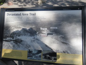
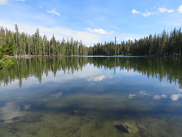
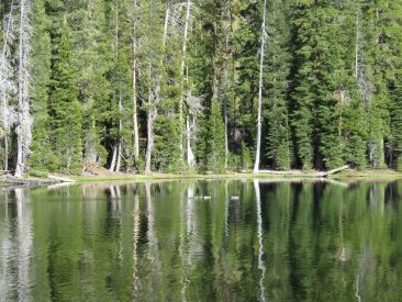
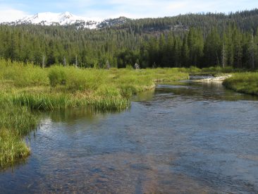
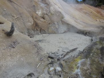
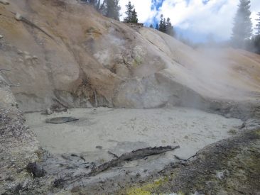
Lassen Volcanic National Park is home to steaming fumaroles, meadows freckled with wildflowers, clear mountain lakes, and numerous volcanoes. Jagged peaks tell the story of its eruptive past while hot water continues to shape the land. Lassen Volcanic offers opportunities to discover the wonder and mysteries of volcanoes and hot water for visitors willing to explore the undiscovered.
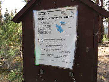
Manzanita Lake Trail
Distance: 4.24km (2.63 miles) – I forgot to start the app so add a little
Elevation Change: 83m (273 feet)
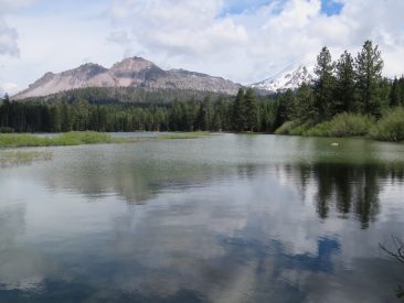
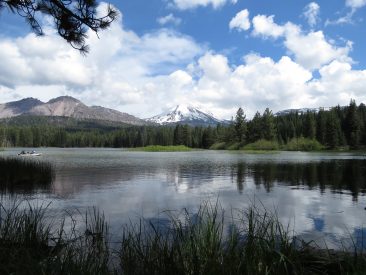
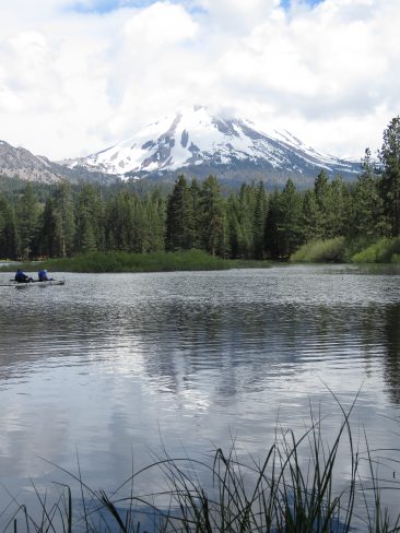
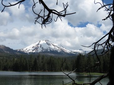
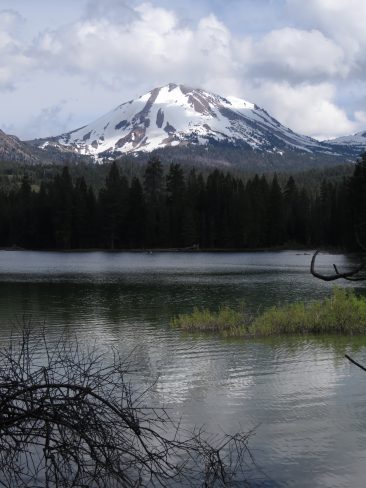
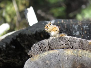
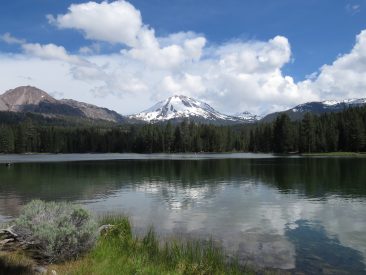
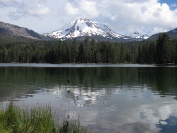
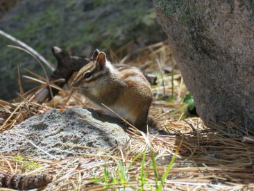
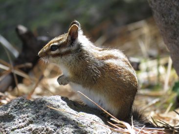
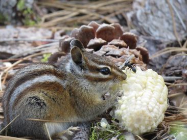
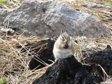
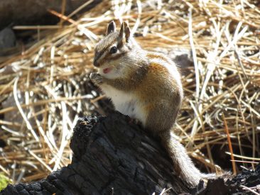
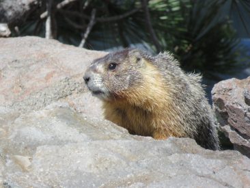
In the afternoon we headed to Lassen Volcanic National Park and explored the northern portion of the park. We started with a wonderful walk (not really a hike) around Manzanita lake. Some great views of Lassen peak and a number of chipmunks. I guess I like chipmunks as I spent lots of time watching and taking pictures of the little critters.
Summit Lake Loop Trail
Distance: 1.56km (0.97 miles)
Elevation Change: 26m (86 feet)
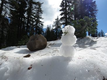
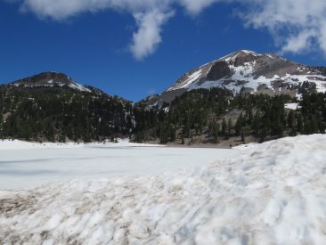
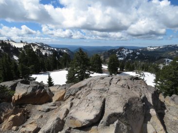
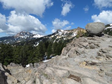
On our last day we headed back to the park and concentrated on the southern portion of the park which is at a much higher elevation. It was so great to be able to play in the snow, almost made me feel like I was home again. 🙂
A great long weekend get away with some great hikes and I found so much new and surprising information about volcanic activity in northern California. Well worth the trip.
Have you been to this area? Other trails in the area that you think I should explore the next time I am in the area? Let me know in the comments below.
Cheers, Nigel




Leave a Reply